What to Expect on the Glymur Waterfall Hike
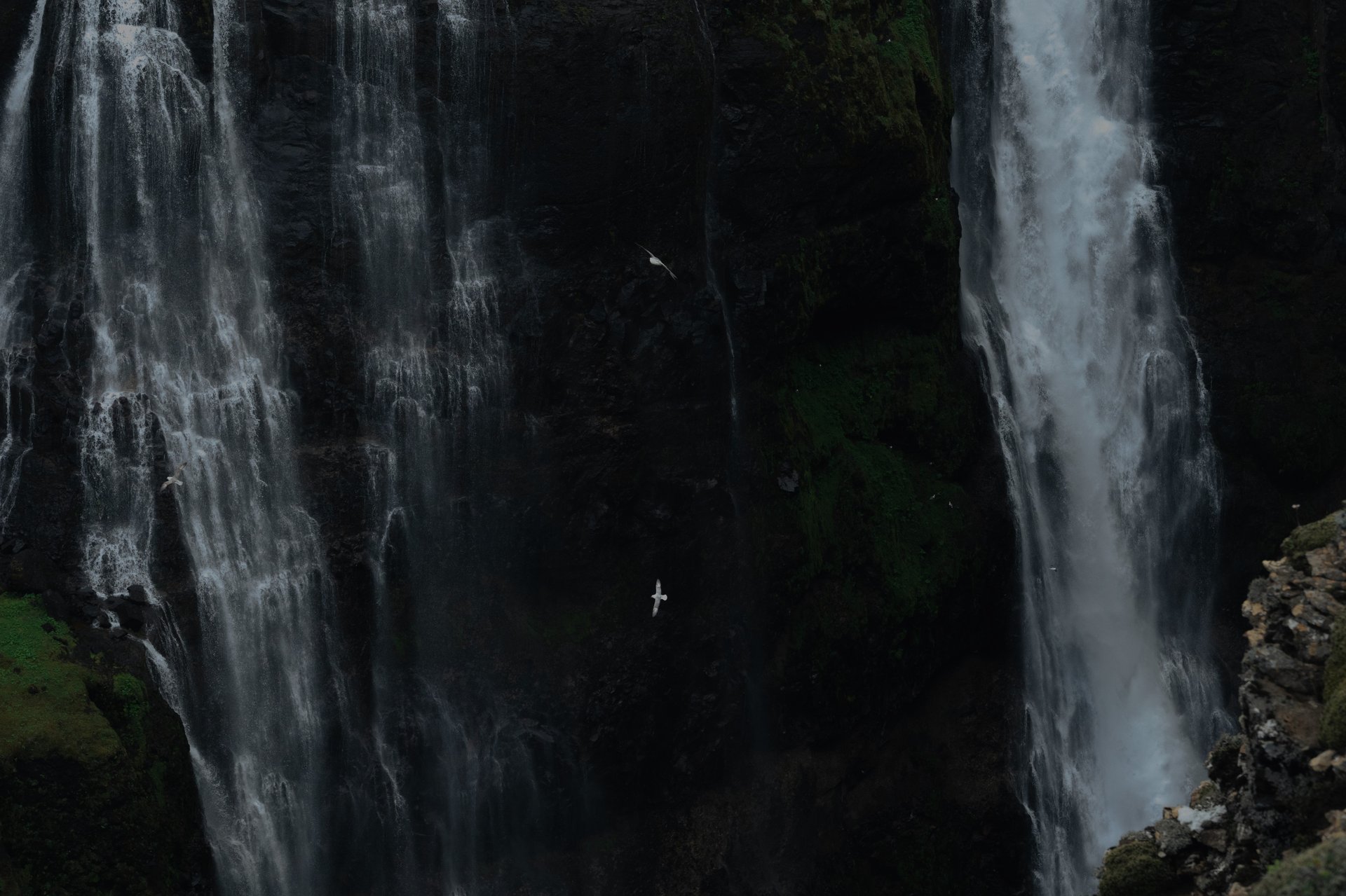
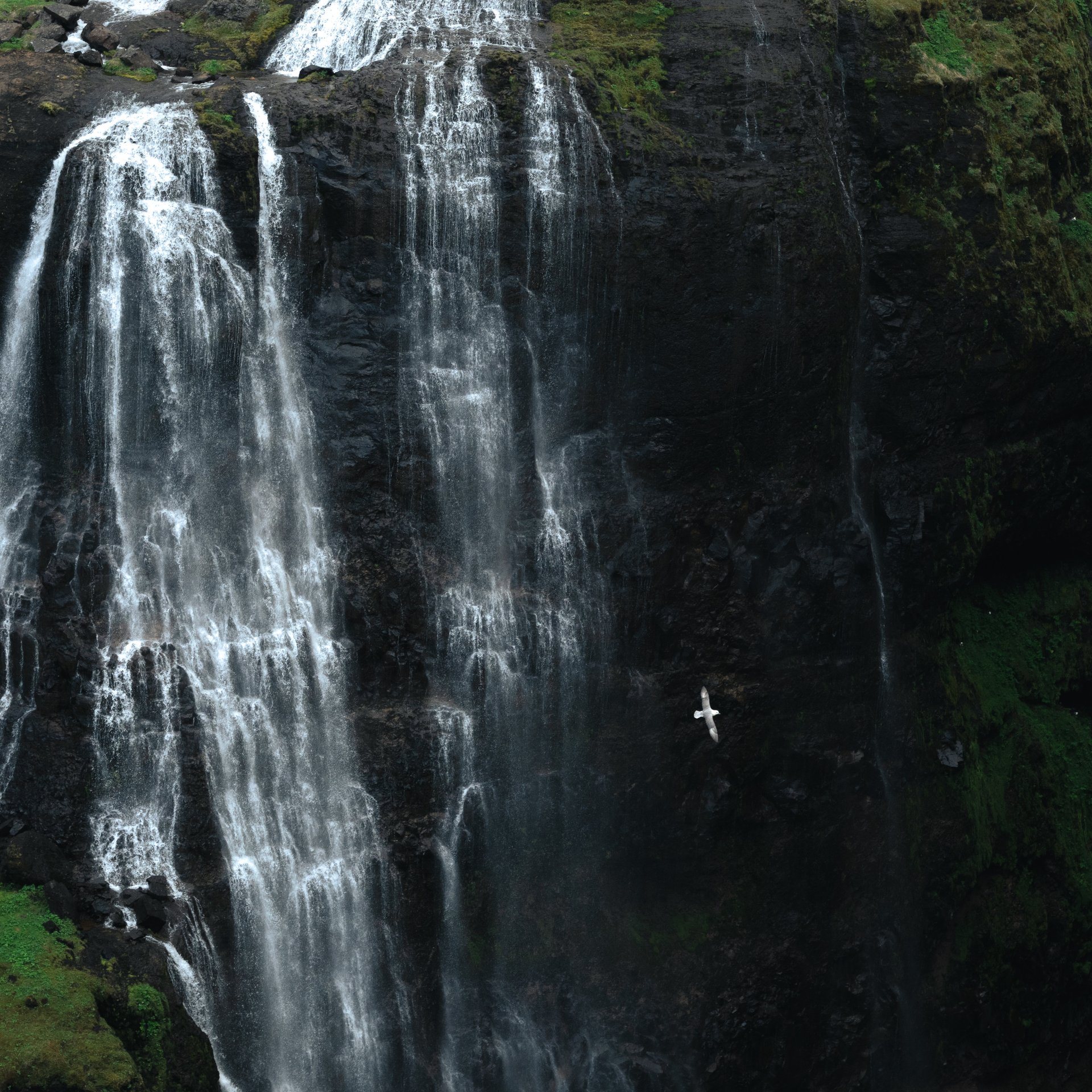
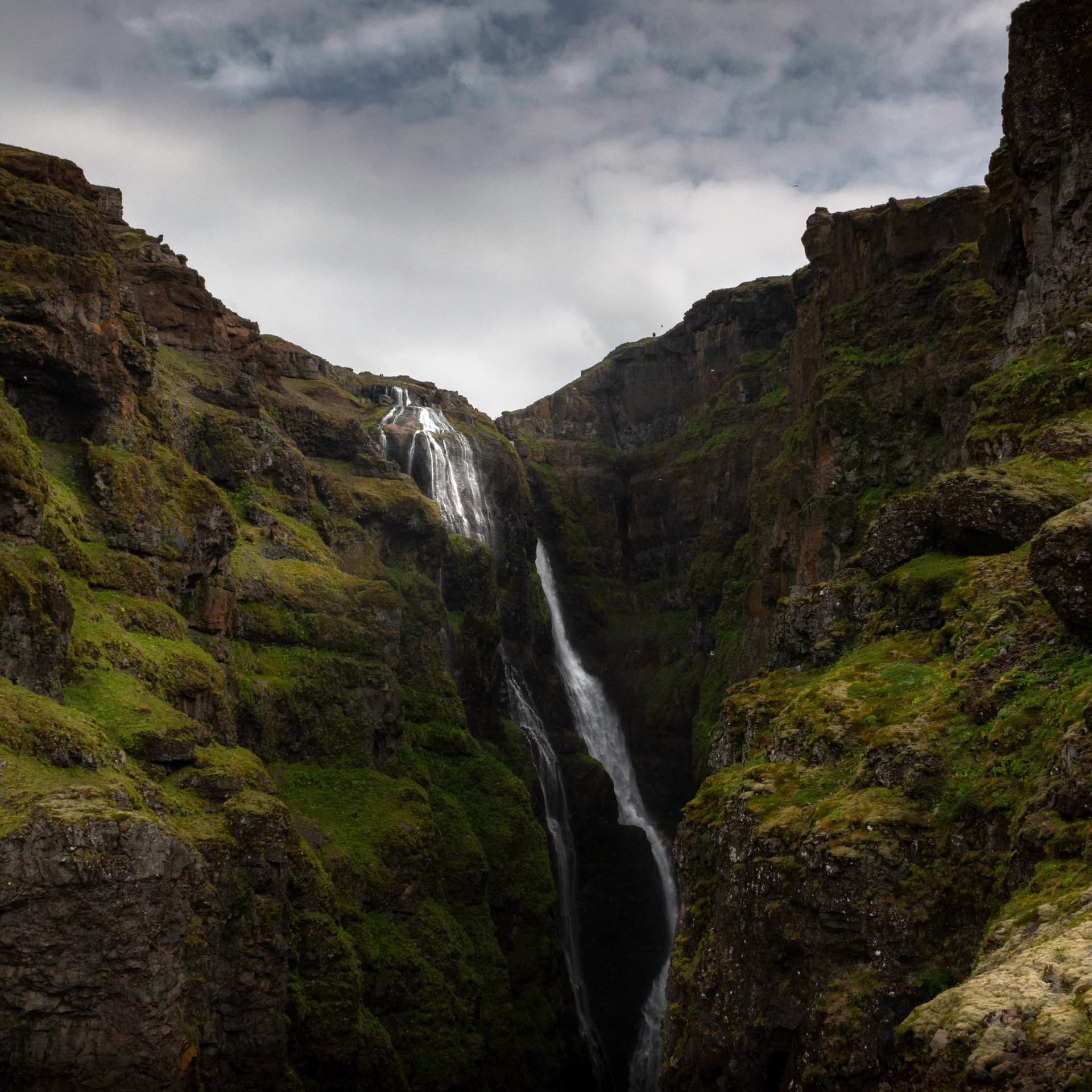
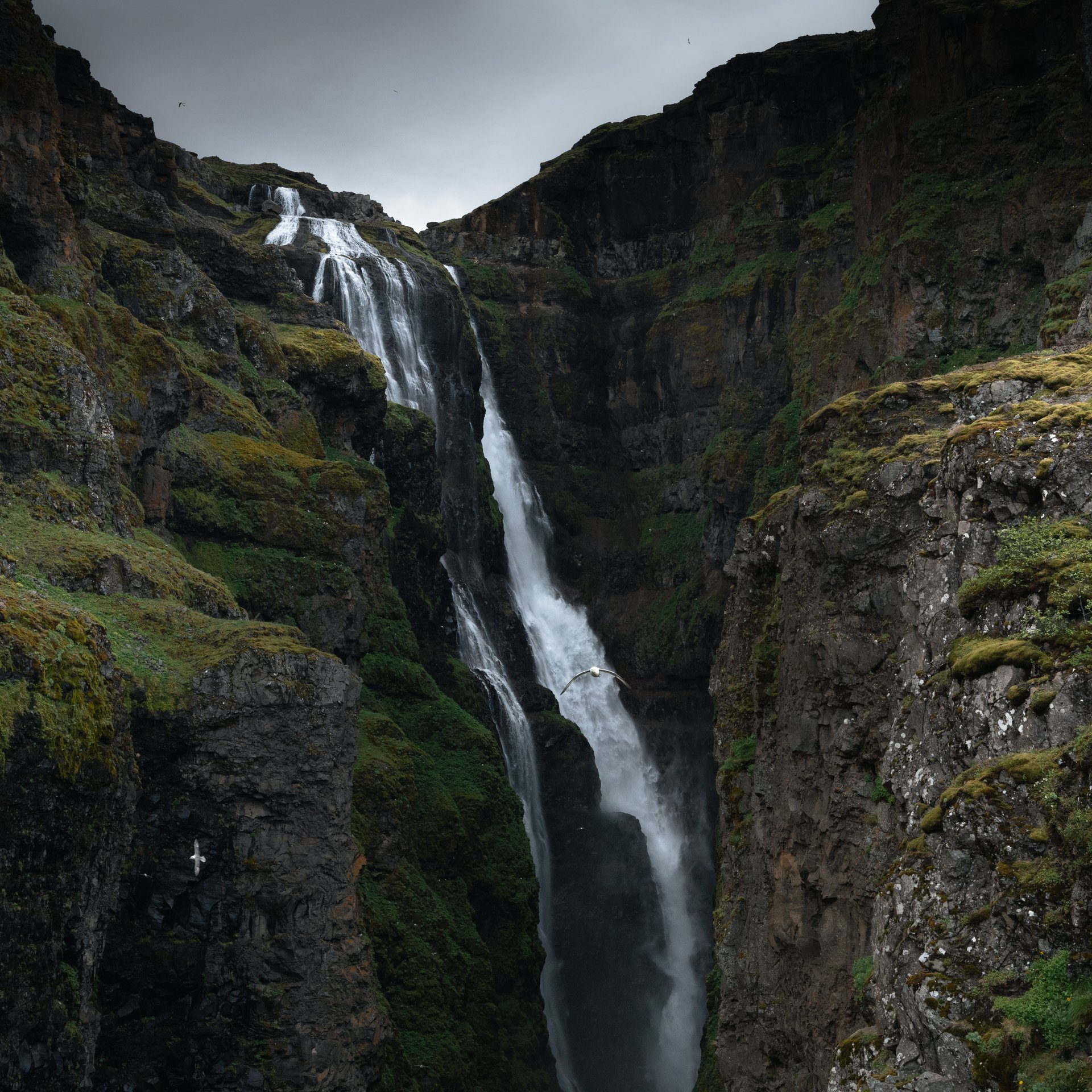
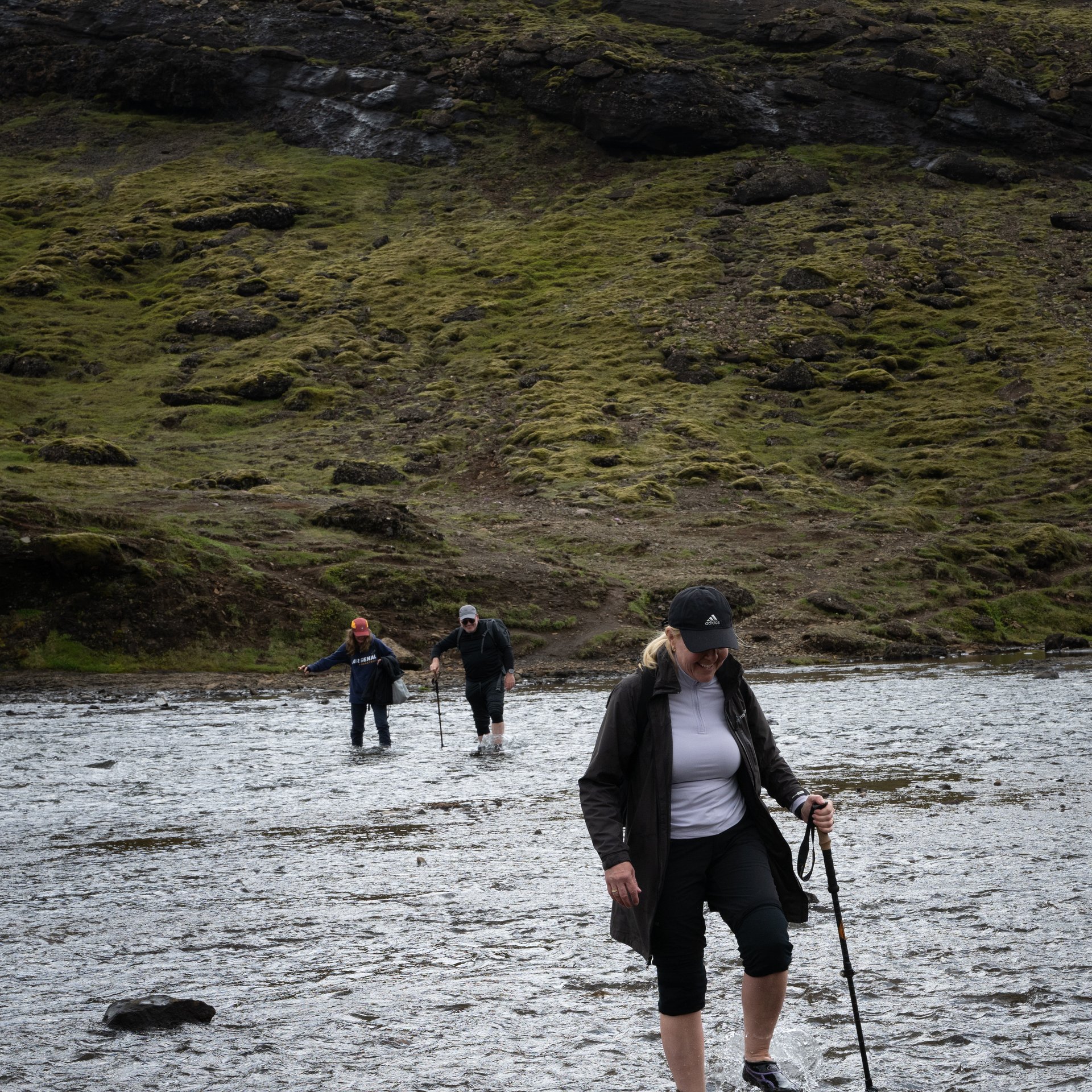
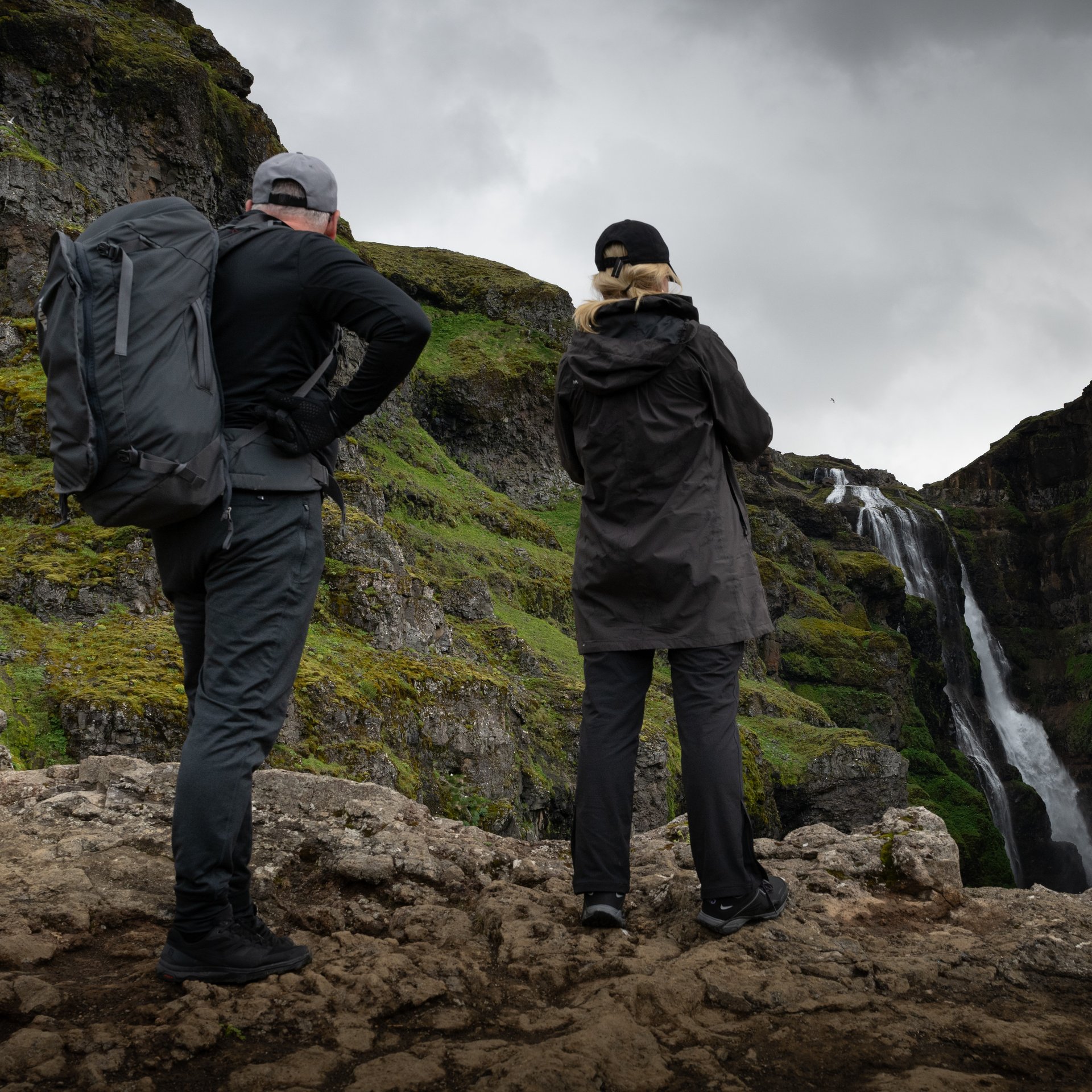
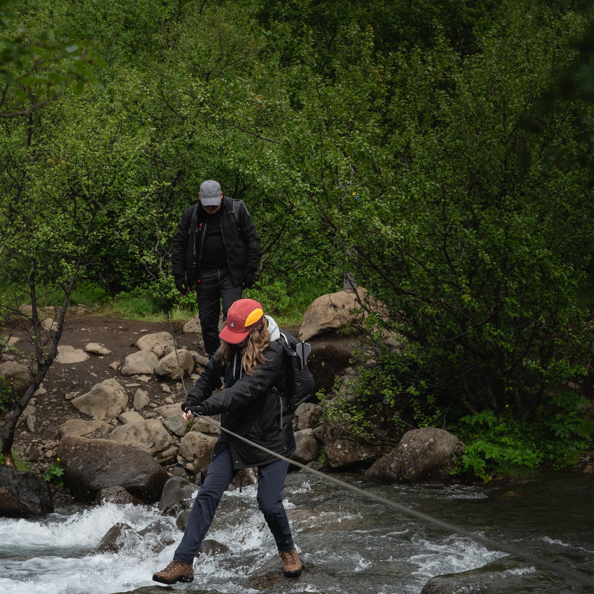
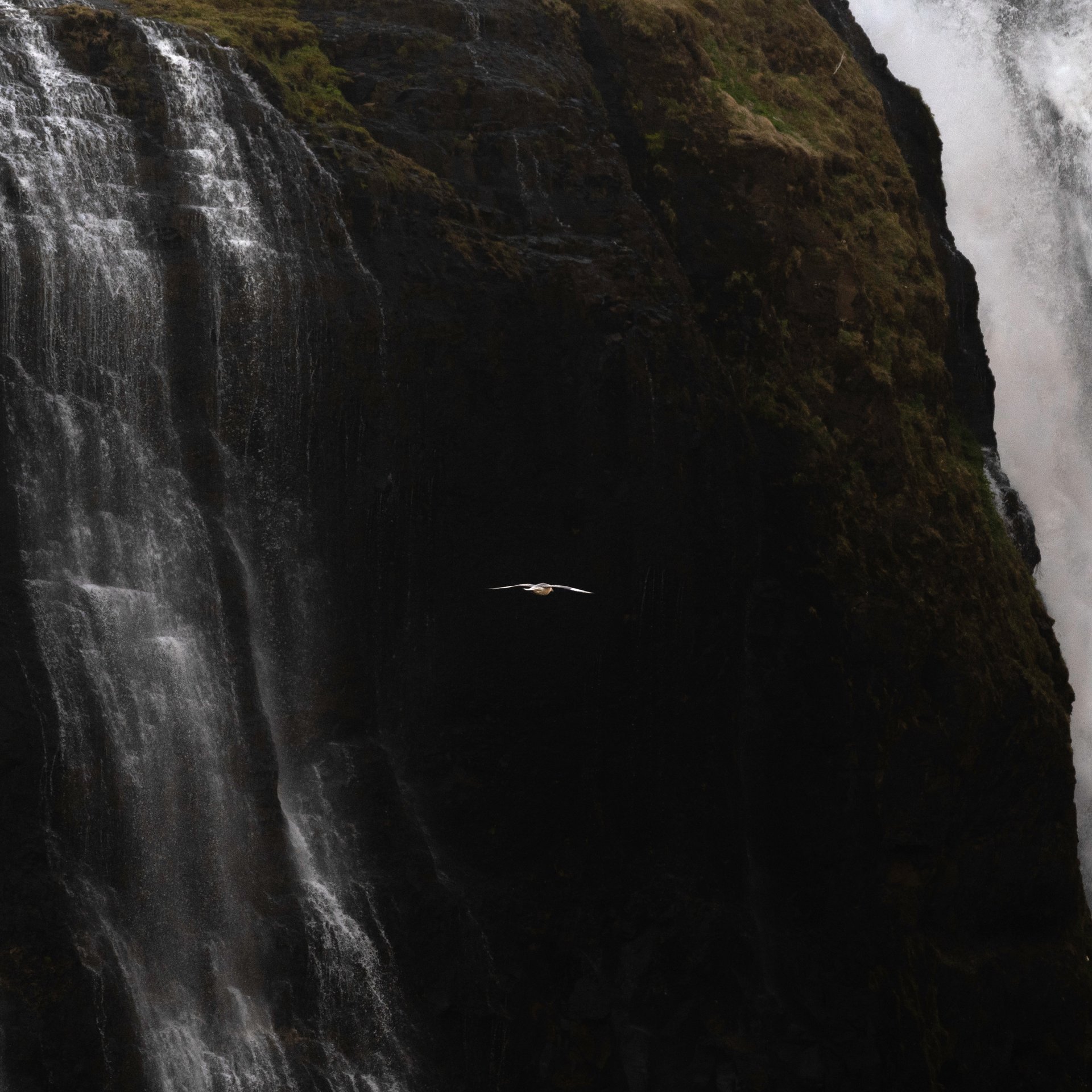
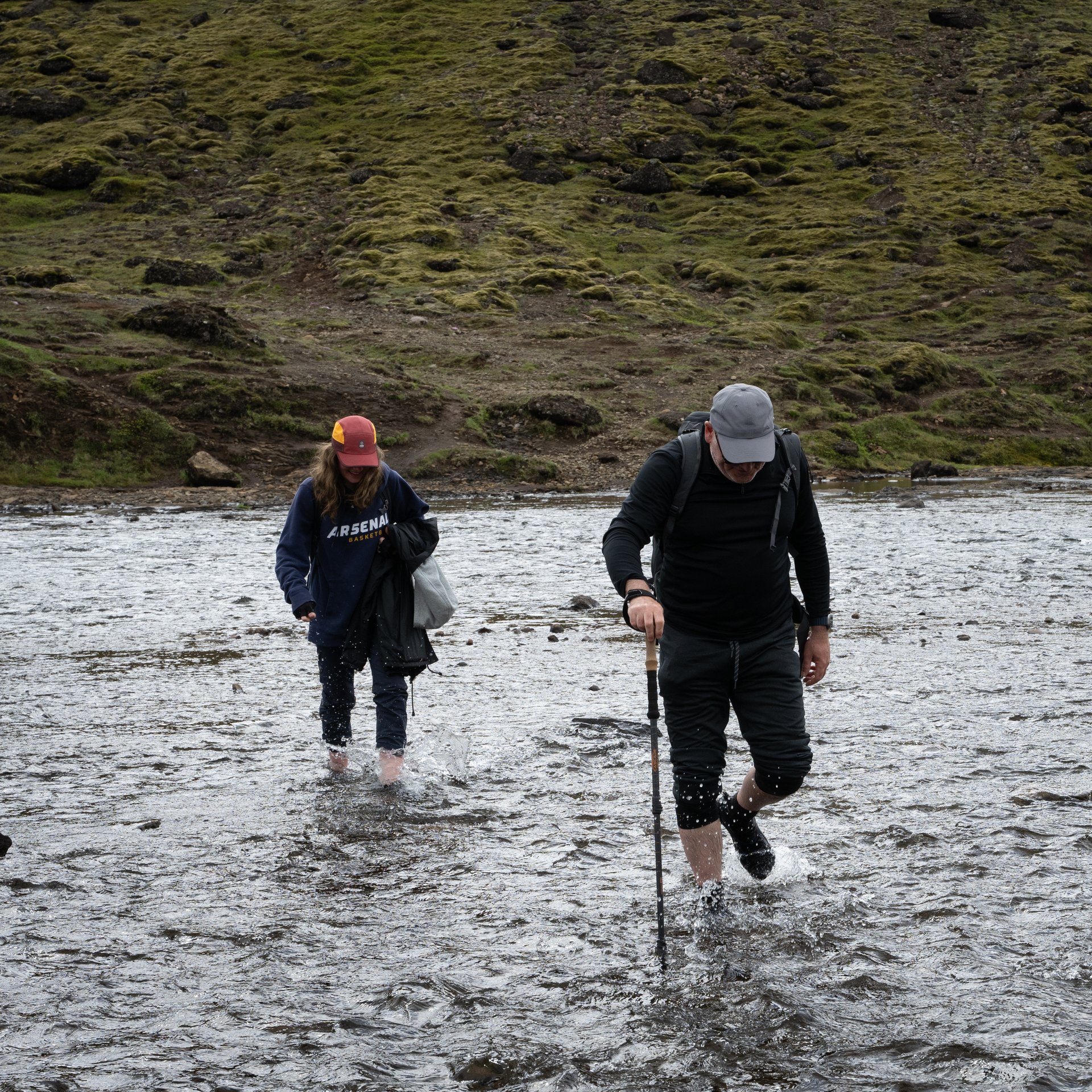
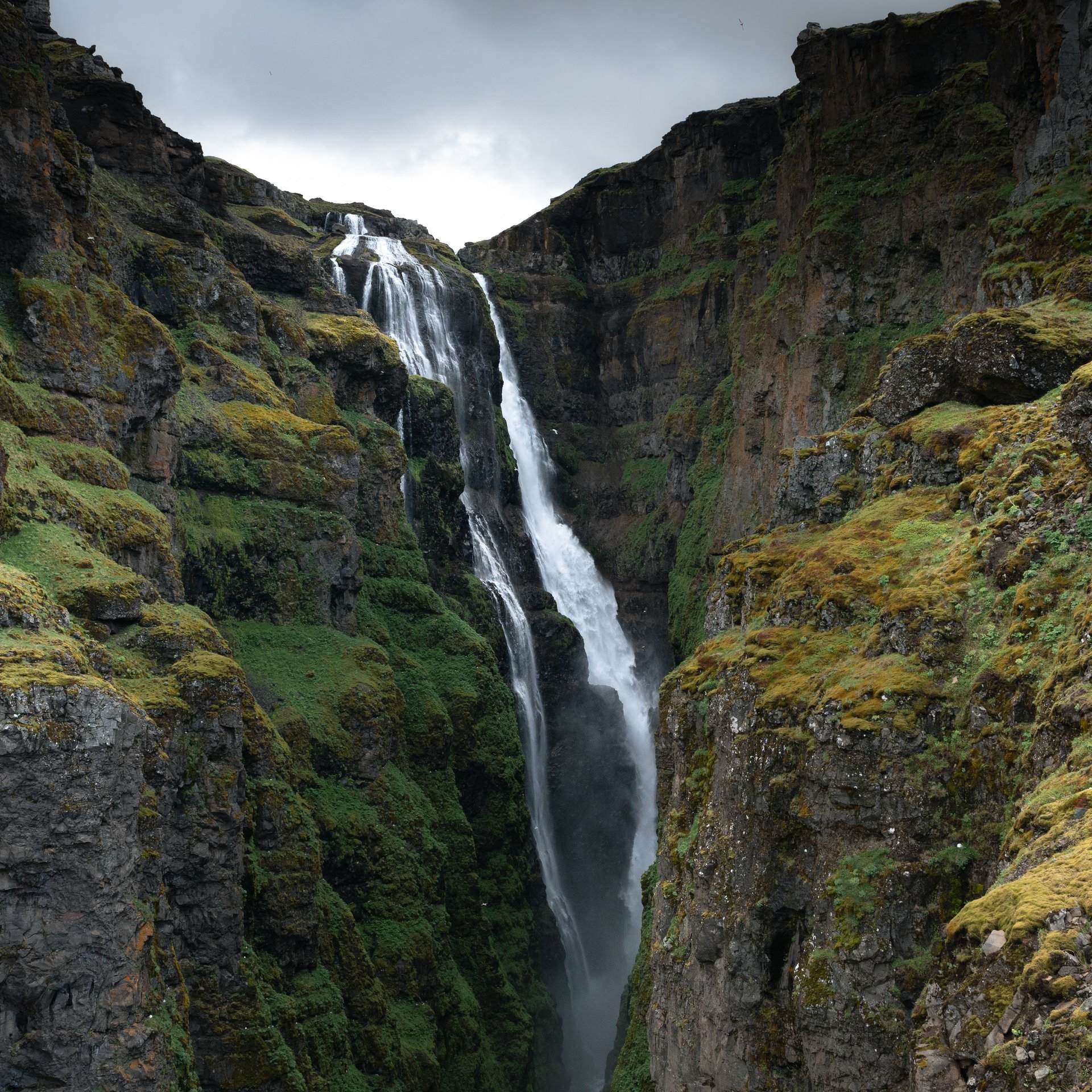
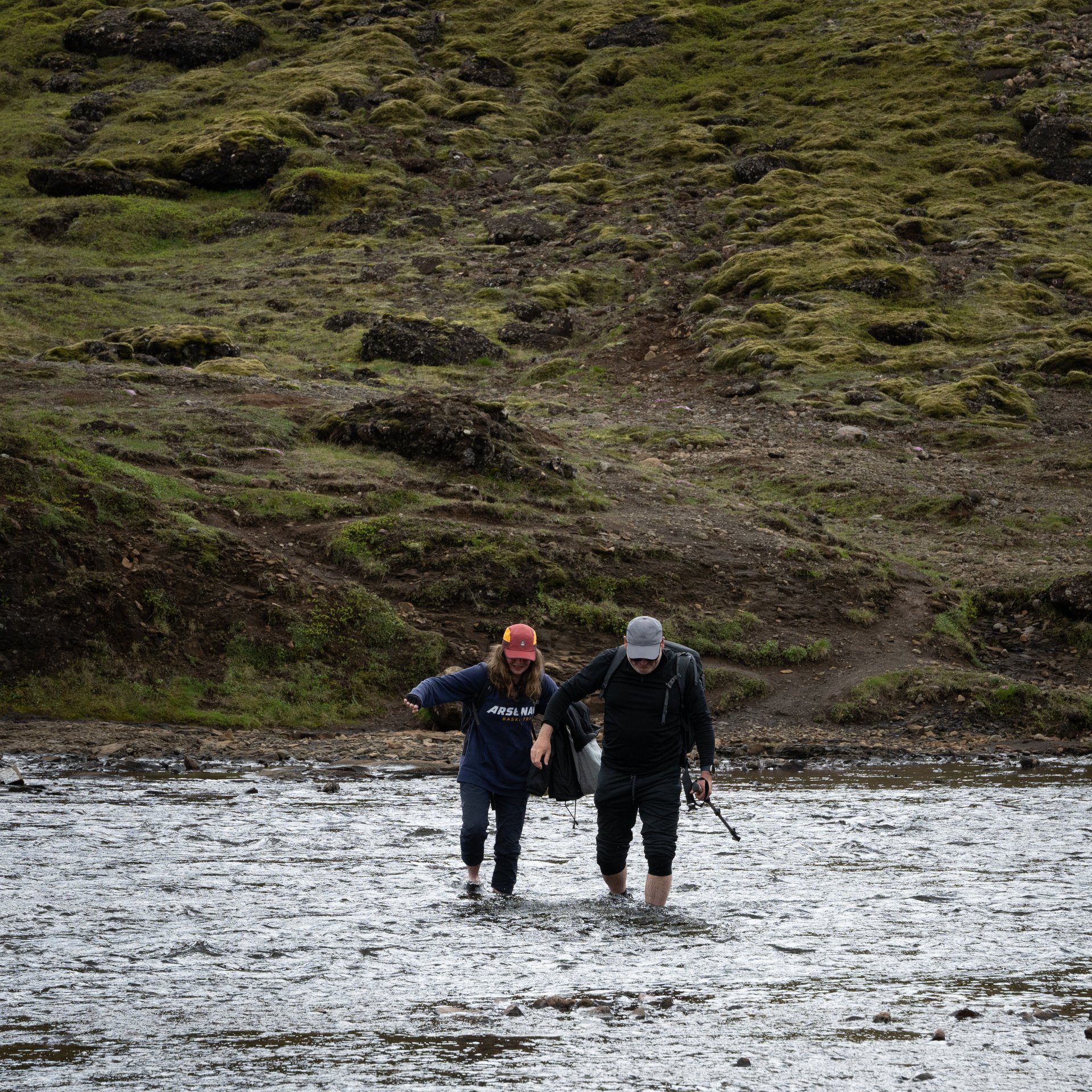
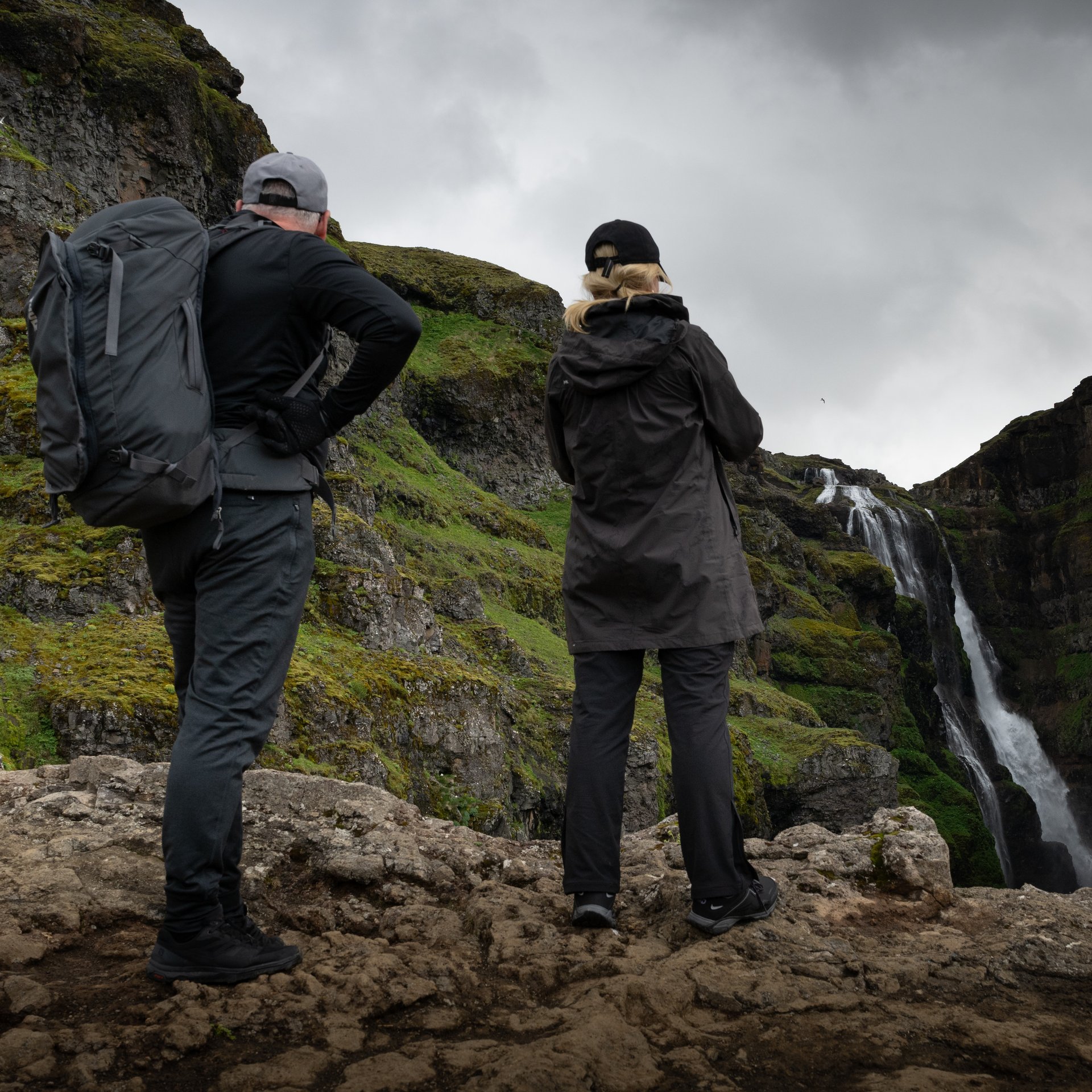
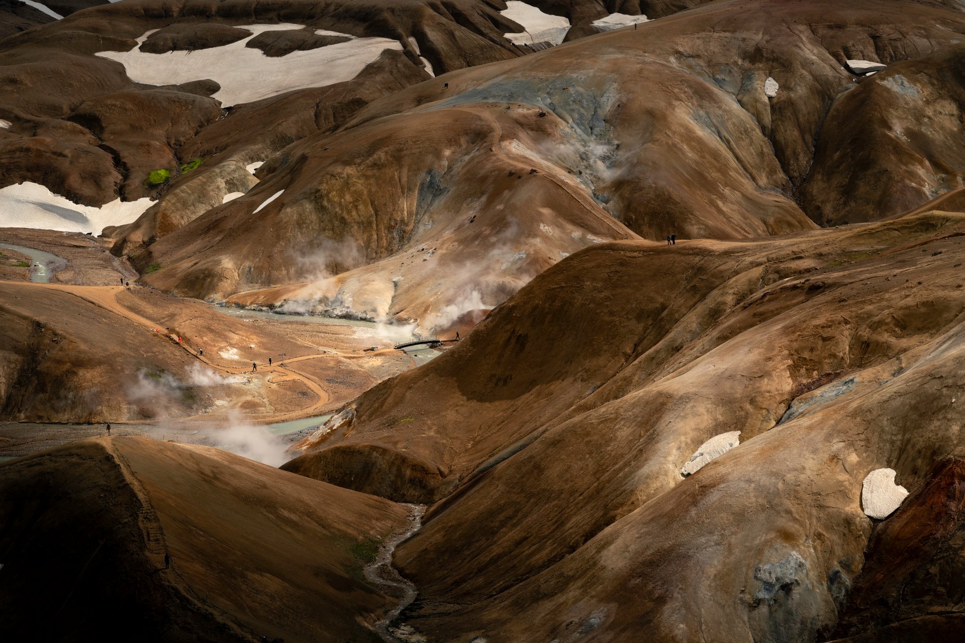
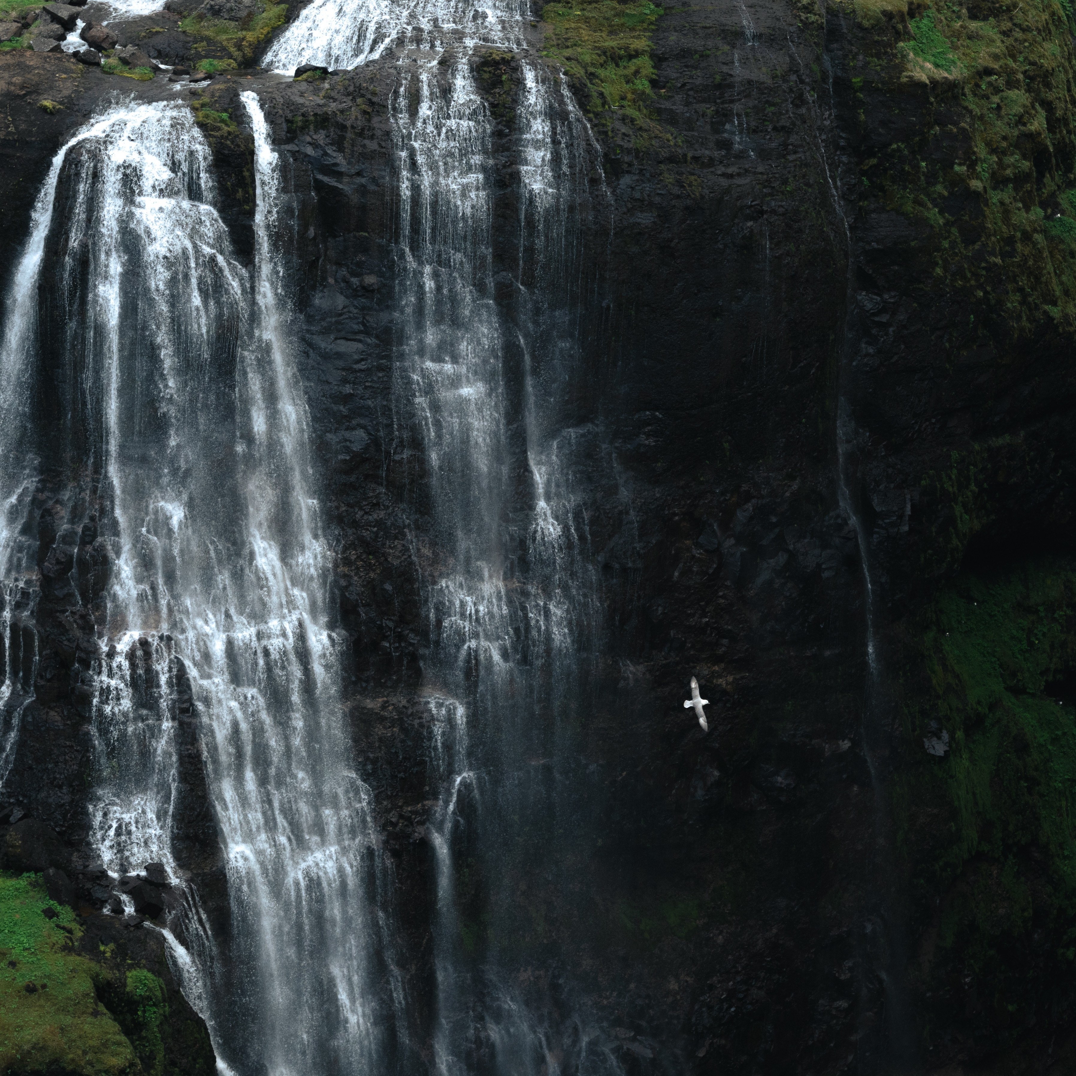
Glymur is Iceland’s second-tallest waterfall at 198 metres, and reaching it requires a real hike — not just a parking-lot viewpoint. The trail is roughly 7 kilometres round trip with about 300 metres of elevation gain. You will cross a river (stepping stones or a log bridge depending on the season), climb through a cave-like passage behind a smaller waterfall, and ascend a steep hillside before the main falls reveal themselves across the canyon.
The hike is rated moderate, but the river crossing and exposed sections demand proper footwear and a guide who knows current trail conditions. Water levels change through the season — early summer snowmelt raises the river, while late summer makes the crossing easier. Your guide will choose the safest route and pace the hike to match your fitness level.

Frequently Asked Questions About Glymur
How long does the hike take? Most hikers need 3 to 4 hours for the full round trip, including time at the viewpoint. Your private tour allows flexibility to go at your own pace.
Is the river crossing dangerous? The crossing is manageable when water levels are normal, but it requires balance and waterproof boots. Your guide assesses conditions on the day and carries safety equipment.
When is the best season? The trail is accessible from roughly May through September. June and July offer the longest daylight and wildflowers along the path. August and September typically have lower water levels.
Do I need hiking experience? No previous hiking experience is required, but reasonable fitness is important for the steep sections.
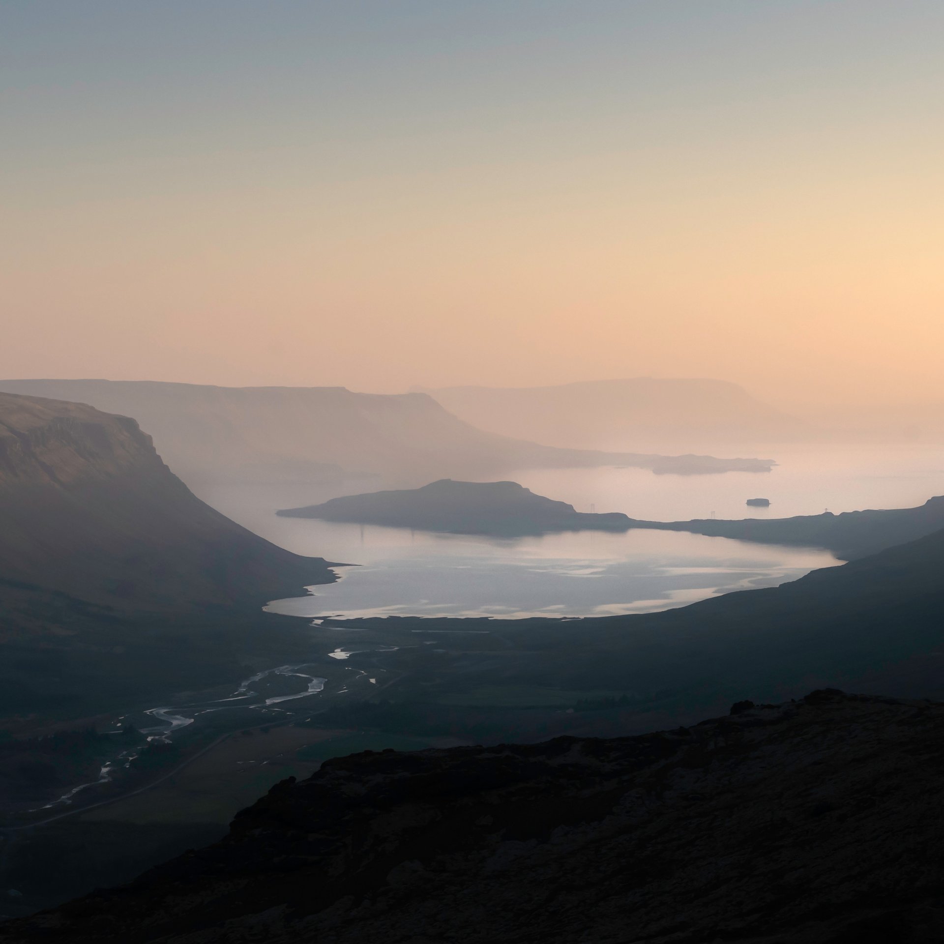
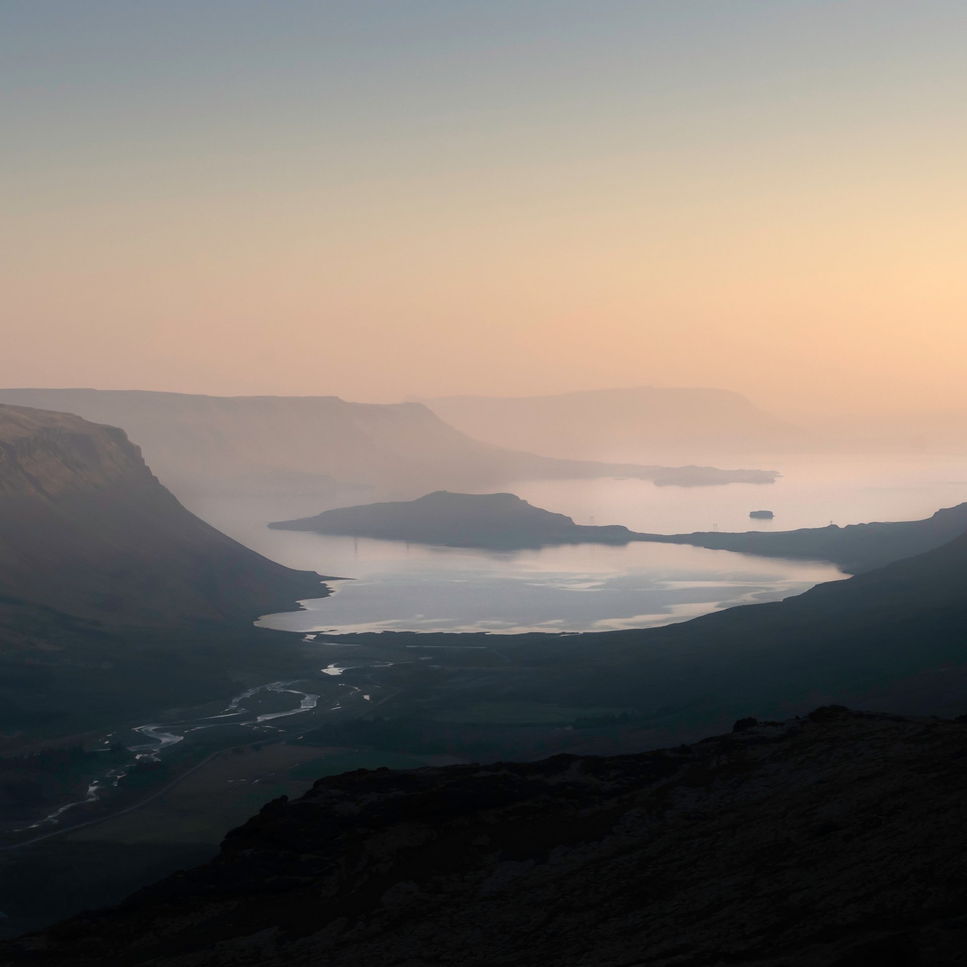
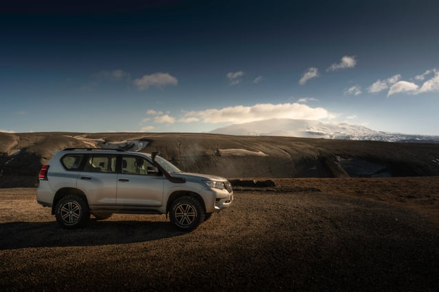
Glymur sits in the Hvalfjörður area, which can also be part of the broader Silver Circle route — a touring loop through West Iceland that rivals the Golden Circle in variety but draws far fewer visitors.